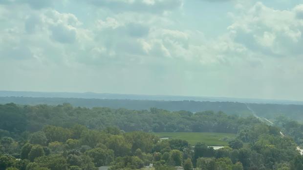
Typical end of summer: from monsoons in Arizona to fall chill in Minnesota
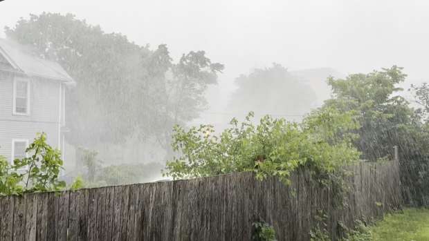
Many people saw the images of the haboob in Phoenix from last week. A haboob looks ominous. It’s a massive dust storm that blows in, shrouds a region in darkness and leaves dust and dirt in its wake.
You might be surprised to learn that a haboob is not really any different than downburst or microburst storm we see in the Midwest. The difference is that these form in the arid southwest and push outward and upward lots of dust and dirt over areas that haven’t seen any real rainfall in months.

They are quite common in many desert regions that enter into monsoon seasons. There's a debate as to whether the southwest U.S. monsoon is a true monsoon compared to India and southeast Asia, but most of the features are indeed the same.
The southwestern U.S. monsoon typically develops late summer into the early Autumn as the region enters its peak heating with widespread triple digit temperatures. This intense regional heating creates a vacuum at the surface which slowly allows air to move in from the Gulf of California as the heat rises and expands.

We tend to think of Arizona as simply a "dry heat," but anyone who’s spent an entire August knows that it does get muggy at times. Take a look at dew points from last Monday evening. Dew points were in the upper 60s to low 70s across the Phoenix area and southern Arizona! That’s central U.S. level summer humid air.

Weatherbell
This essentially creates a pattern that we would simply deem a normal "July" in the Midwest. Sunny mornings give way to growing cumulus clouds due to instability and pop-up, scattered showers and storms develop.
Due to the nature of thunderstorms, the precipitation pattern is highly variable but you can see up to 4 inches of rain fell over 7 days in central Arizona. This is "flash flood" season for these areas. Think of Death Valley a couple of summers ago and washed out highways as intense downpours develop on hardened, dry soils.

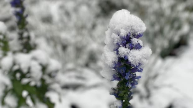
Another taste of fall for the central and eastern U.S.
Many people saw their first taste of fall weather east of the Rockies last week. While Labor Day weekend yielded seasonable temperatures for most of the central and eastern U.S., another fall blast is coming this week.

WeatherBell
The European forecast computer model brings the coolest air yet by midweek next week for the Upper Midwest and Great Lakes region. The temperatures pictured above are of temperatures about 4,000 feet above the ground. We use this as an indicator of the overall air mass. It can also be helpful when forecasting types of precipitation (rain versus snow).
You can see that throughout much of Minnesota and northern Wisconsin by early Thursday morning (September 4) those temperatures in the upper lower atmosphere are below freezing.

Weatherbell
In typical September fashion however, worry not. We are not skipping to October just yet. We’ll go from highs in the 50s on September 4 to highs in the low 80s, back above normal in those Minnesota locations just three days later.